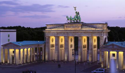
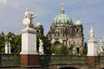
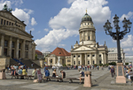
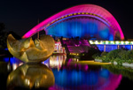
Berlin Profile

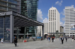
Berlin is a world city of culture, politics, media, and science.
Its economy is based on high-tech firms and the service sector, encompassing a
diverse range of creative industries, research facilities, media corporations,
and convention venues.
Berlin serves as a continental hub for air and rail traffic and has a highly
complex public transportation network. The metropolis is a popular tourist destination.
Significant industries also include IT, pharmaceuticals, biomedical engineering,
clean tech, biotechnology, construction, and electronics.
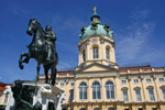
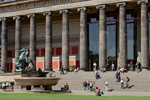
Modern Berlin is home to renowned universities, orchestras, museums, entertainment venues,
and is host to many sporting events. Its urban setting has made it a sought-after location
for international film productions. The city is well known for its festivals, diverse architecture,
nightlife, contemporary arts, and a high quality of living.
Over the last decade Berlin has seen the upcoming of a cosmopolitan entrepreneurial scene (adapted from Wikipedia).
How to reach Technische Universität Berlin
The university can easily be reached via the International Airports of Berlin, by railway or car.| By air (Berlin has two airports) |
|---|
| Arrival Berlin Tegel (TXL) : The airport is very close to the Main Campus. Take the airport shuttle bus (X9) to Ernst-Reuter Platz (15 minutes) or take a taxi (10 minutes). |
| Arrival Berlin Schönefeld (SXF) :
This airport is across the city, so a taxi is expensive unless you can share the costs. Option 1: At S-Bahnhof Flughafen Schönefeld take a regional train (RE7, destination Dessau) or S-Bahn (Line 9, destination Pankow, change at Ostkreuz to any train in direction of Zoologischer Garten). Leave the train at Zoologischer Garten. From there you can walk down Hardenbergstrasse (five minutes), take a bus (M45, 245, or X9), or take the U-Bahn (Line 2, destination Ruhleben) one station to Ernst Reuter Platz. (Or you can stop a taxi and take a fixed rate short ride). Option 2: Take a 171 or X7 bus to the underground station Rudow and from there take the Line 7 (destination Rathaus Spandau) to Bismarckstrasse, then change onto the Line 2 (destination Pankow) and travel two stops to Ernst Reuter Platz. Both options take about an hour. |
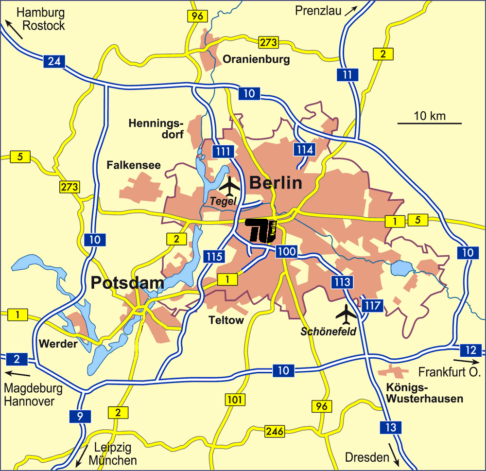
| By train |
|---|
| At Central station (Berlin-Hauptbahnhof) take a regional train or S-Bahn (any line in direction of Charlottenburg, Westkreuz, Potsdam or Spandau) to Zoologischer Garten. The main campus is only a five minute walk from Zoologischer Garten railway station. You can also take a bus (M45, 245 oder X9) or the U-Bahn (Line 2) to Ernst Reuter Platz (or you can stop a taxi and take a fixed rate short ride from Zoologischer Garten). |
_
| By car |
|---|
| Coming from the north - Hamburg/Rostock (A24 autobahn): At the motorway junction Oranienburg take the A111 to Berlin Zentrum, and at the motorway junction Charlottenburg turn onto the A 100. Leave at the Kaiserdamm exit, and turn left at the end of the slip road to turn onto the Kaiserdamm boulevard (later Bismarckstrasse). Continue over the traffic island into Strasse des 17 Juni, and the Main Building of the TU Berlin is on your right after 100 yards. From Hannover (A2) and Leipzig, Nuremberg: Take the motorway A10 (Berlin Ring) to the Drewitz motorway junction, then the AVUS (A 115) to Berlin-Zentrum. At the Funkturm follow the signs to Wedding, but then take the first exit to Kaiserdamm. Turn left at the end of the slip road to turn onto the Kaiserdamm boulevard (later Bismarckstrasse). Continue over the traffic island into Strasse des 17 Juni, and the Main Building of the TU Berlin is on your right after 100 yards. |